Project screenshots
About the project.
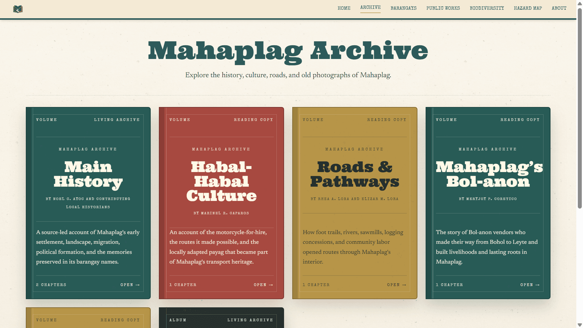
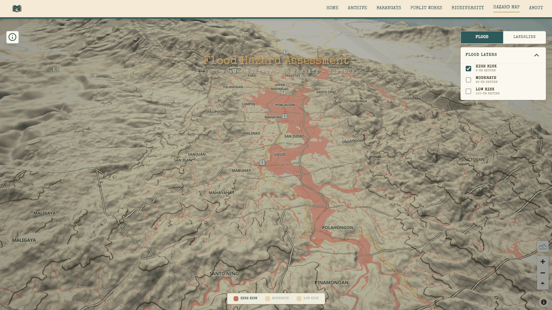
Created as Mahaplag celebrates its 68th Founding Anniversary, Mahaplag Archive brings together an interactive map of the municipality and its 28 barangays with local lore, historical records, research, DPWH records, hazard maps, biodiversity references, and a directory of local officials.
Important records and community stories are often scattered across documents, websites, and personal collections. I created the archive to organize them in one accessible place for students, residents, and future generations before they are forgotten or lost.
Key capabilities
- Interactive map covering Mahaplag and all 28 barangays
- Local lore, historical records, research, and community stories
- DPWH records, biodiversity references, and officials directory
- GIS-based flood, landslide, and hazard-map exploration
Tech stack
- Next.js
- React
- Python
- GIS
- Tailwind CSS
- Supabase
- TypeScript